Elevate Your Perspective.
FAA 107 CERTIFIED | Real Estate Photography | FPV TOURS | Drone MAPPING
FAA 107 CERTIFIED | Real Estate Photography | FPV TOURS | Drone MAPPING
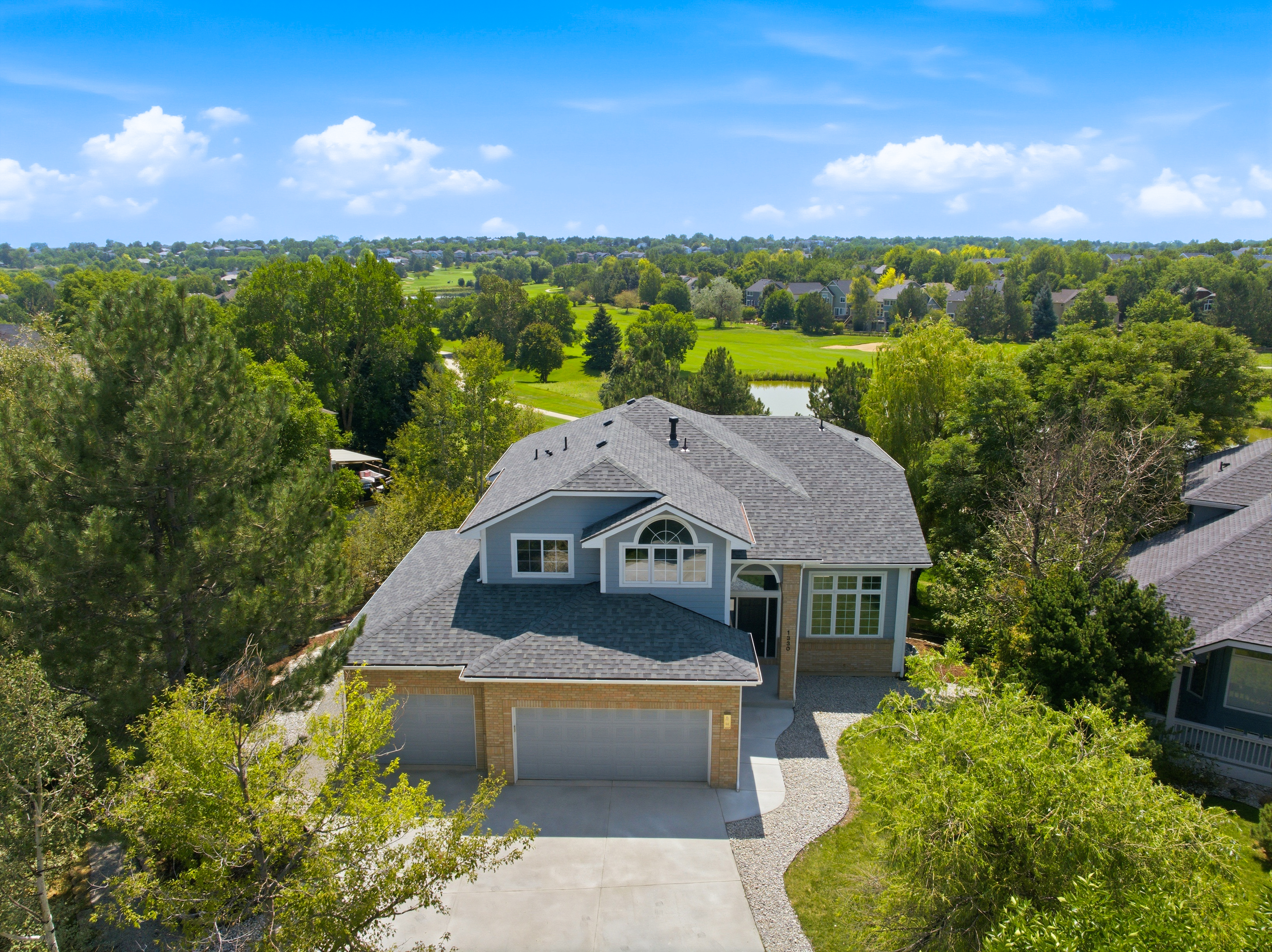
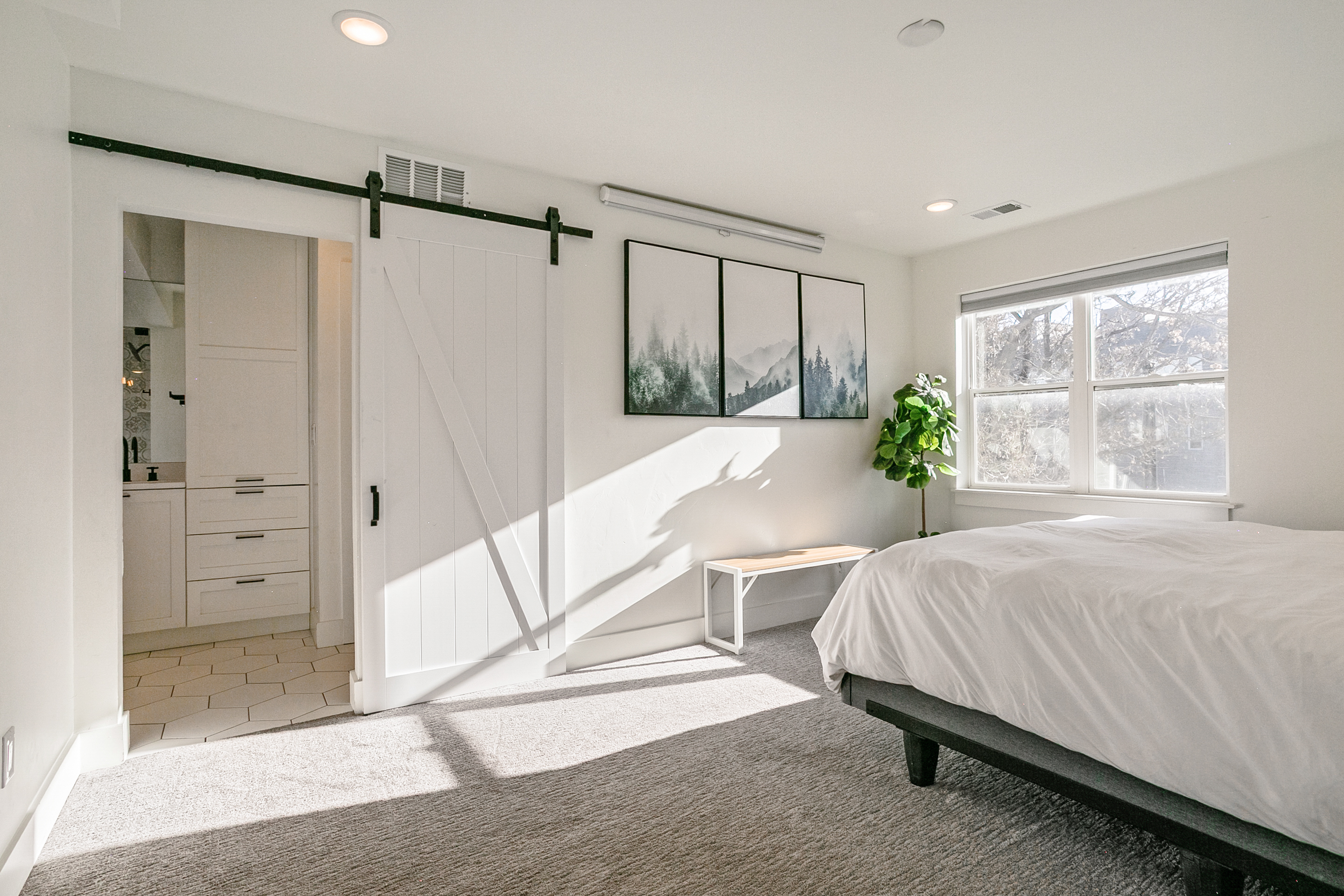
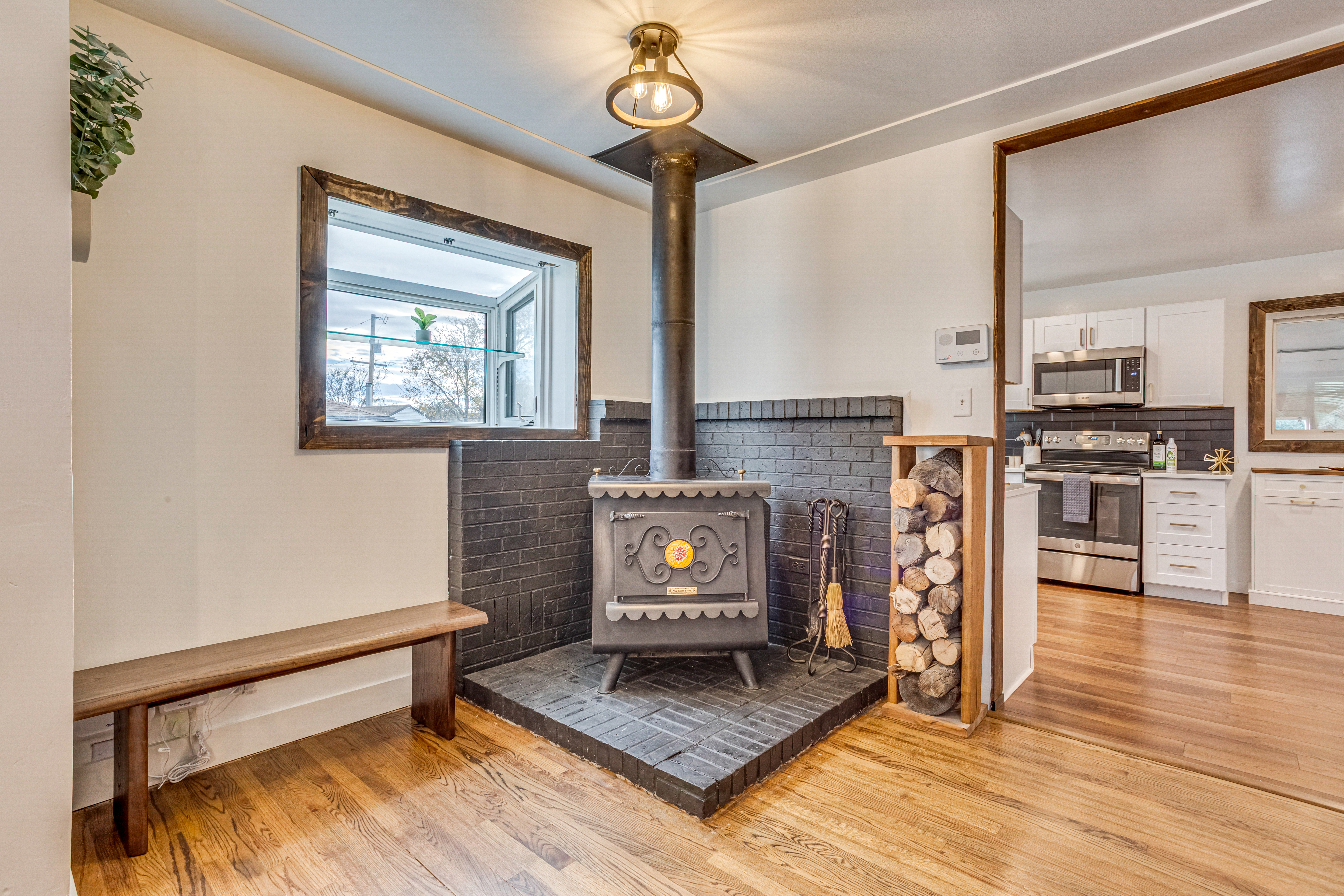
Delivering high-impact aerial photos, cinematic property videos, and unique FPV tours that make your listing stand out and get results.

We provide high-resolution progress monitoring, 2D/3D mapping, and thermal inspections for construction and utility assets.
delivering exceptional results with every flight.
Stop settling for ground-level views. We are FAA-Certified, field-proven, and equipped to deliver exceptional results across any aerial project—from complex utility mapping and vital infrastructure inspection to dynamic real estate tours and cinematic storytelling.
We don’t just fly drones; we capture the impossible with safety, clarity, and uncompromising creative vision.